Vessels, connections, and changing tides.
Connect a normalized JSON feed from your Hostinger server. The dashboard refreshes every 30 seconds. Keep provider API keys on the server.
Snapshots are not live. Import cells with areaM2 and bedElevationM plus a matching bathymetry.datum to enable volume estimates. See README.md for the data contract.
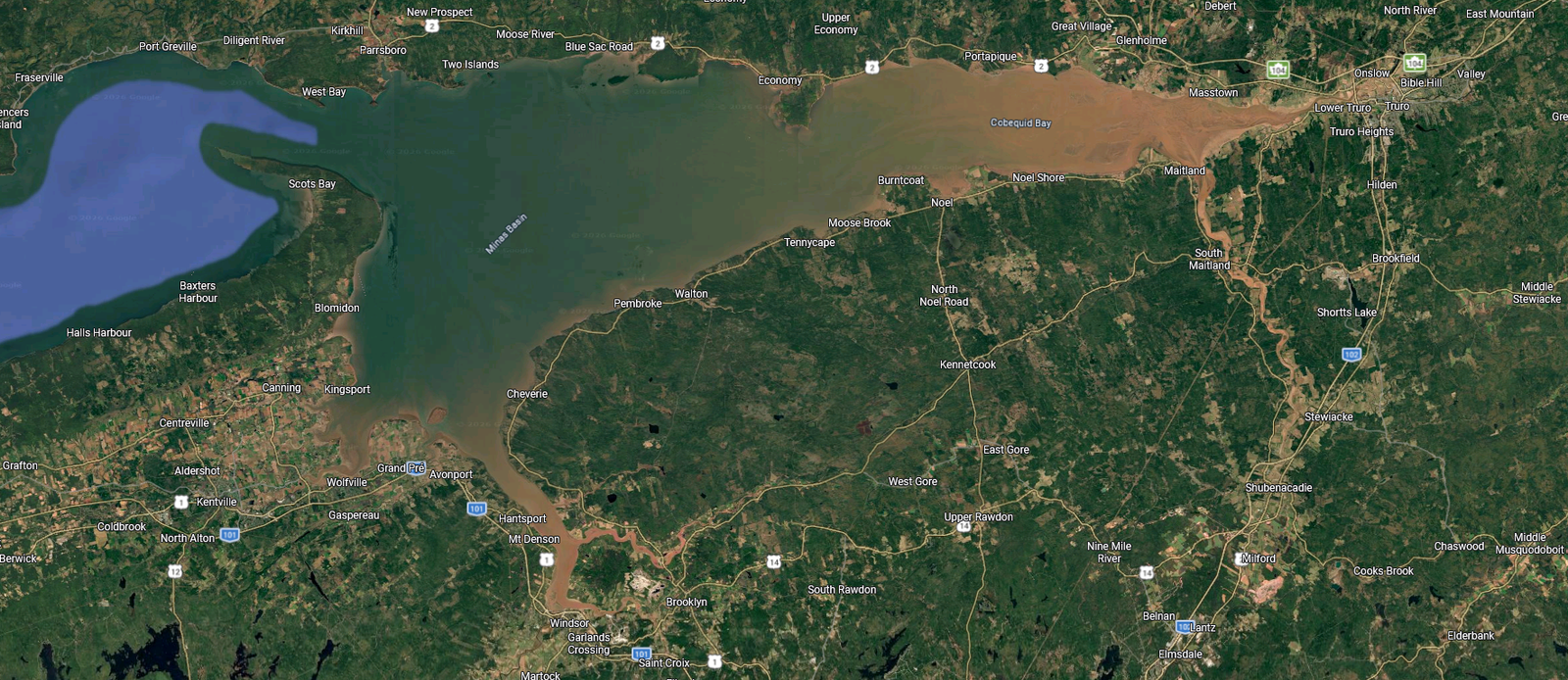
Choose a type and name, then click its location on the image. These pins do not represent verified geographic coordinates.
The supplied basin image is a static basemap, not a georeferenced nautical chart. Positions use normalized image coordinates and require calibration before a geographic feed can be overlaid accurately.
Radio, satellite and cellular layers display supplied measurements, not inferred coverage. Score methodology and units must come from the provider. No tide, wave, vessel, buoy or port data is fabricated.
Water levels need a named station, timestamp, observation type and vertical datum. Wave frequency is 1 / supplied wave period. Bathymetry is necessary for water volume; the estimate assumes a uniform water surface across the supplied survey cells.
Retain the imagery’s existing attribution and confirm permission before public use. This dashboard is not for navigation.